News Summary
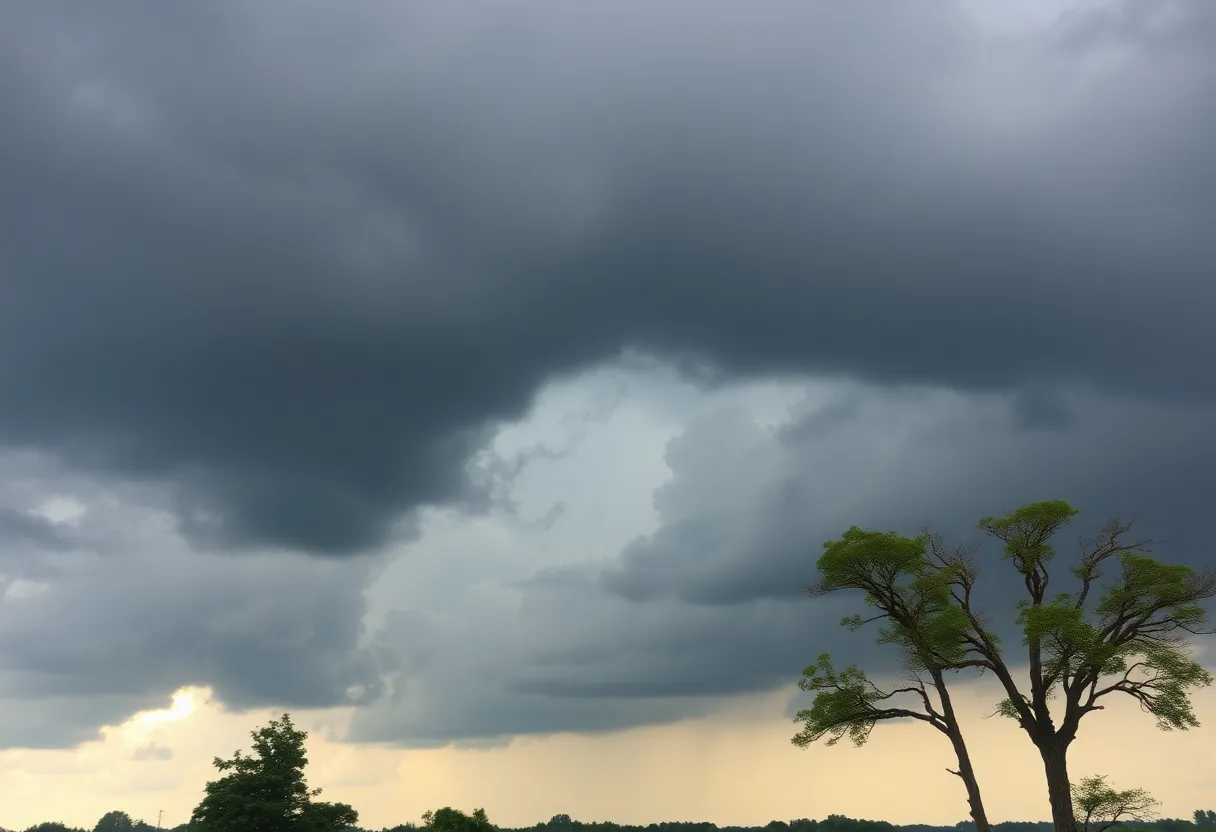
On Thursday, Lexington avoided significant wind damage from severe storms, unlike nearby Louisville. Wind shear played a key role in protecting the area. Although tornadoes occurred in western Kentucky, Lexington was fortunate to remain safe. Forecasts suggest low severe weather risk for Friday, but potential threats may return this weekend, with ongoing heavy rainfall expected.
Lexington Escapes Severe Storms as Wind Shear Protects the Area from Tornadoes
On Thursday morning, Lexington experienced no significant wind damage from severe storms, in stark contrast to Louisville and portions of Western Kentucky and Tennessee. Tornado sirens were activated in Lexington; however, the region was spared the severe weather that was initially anticipated.
Meteorological expert analysis indicates that several factors, mainly wind shear, played a crucial role in safeguarding Lexington. Wind shear describes the variation in wind speed and direction over a short distance, a significant element in tornado formation. Compared to Lexington, Louisville experienced heightened levels of wind shear, allowing storms there to develop rotational patterns, while Lexington did not possess adequate energy to support tornado creation.
Despite Lexington’s fortunate outcome, tornadoes were reported in McCracken and Ballard counties in the far western part of Kentucky, along with incidents in Madisonville and Middletown. The storm systems affecting Western Kentucky showed both high-speed shear and directional shear, intensifying their likelihood of producing tornadoes.
Forecast and Potential Risks
Looking ahead, forecasts indicate a low likelihood of severe weather for Lexington on Friday; however, continued heavy rainfall is anticipated. An overall elevated severe weather threat is expected to re-emerge on Saturday afternoon and evening, which could lead to damaging winds and potential tornado spin-ups.
Before this system hit, predictions on Wednesday indicated brisk winds accompanied by rising temperatures, reaching into the upper 70s to low 80s. There was a notable concern for severe storms developing west of the Ohio and Mississippi Rivers.
Impact of the Storms
The storm’s repercussions included power outages affecting over 42,800 residents in Kentucky, with numbers dropping to approximately 14,700 by midday Thursday. Menifee County reported the highest percentage of outages, impacting roughly 75% of its population.
Storm impacts also featured significant rainfall, hail, and at least one confirmed tornado touching down in Louisville. Continued rain is predicted throughout Kentucky for the weekend, with particular areas in Western Kentucky potentially receiving upwards of 15 inches. In contrast, rainfall estimates for Lexington are expected to range between 6 to 8 inches.
Resources and Assistance
For residents affected by the storms, various resources are available for reporting power outages and accessing outage maps. These tools aim to facilitate assistance and update residents on recovery efforts following the storm system.
As the weather patterns evolve, residents in Lexington and surrounding areas remain vigilant and prepared for any further developments in the forecast.
Deeper Dive: News & Info About This Topic
HERE Resources
Severe Storms and Tornadoes Devastate Kentucky
Severe Storm System Hits Lexington, Kentucky with Tornado Warnings
Severe Storms Cause Havoc in Lexington, Kentucky
Severe Weather and Flooding in Kentucky Claims 14 Lives
Kentucky’s Legislative Changes Impact University Faculty Evaluations
Fayette County Ramps Up Winter Care Program as Severe Storm Hits
Devastating Flooding and Winter Chaos Hit Central and Eastern Kentucky
Heavy Rainfall in Kentucky Sparks State of Emergency
Winter Storm Disrupts International Students’ Return to Lexington
Wreaking Havoc in Kentucky: Winter Storm Blair Takes Over
Additional Resources
- Kentucky.com: Severe Storms Update
- Wikipedia: Wind Shear
- Weather.com: Severe Thunderstorm Risk
- WKYT: Severe Storms Forecast
- Google Search: Severe Weather